Maps
Ralph Bacon has created fully illustrated, birds-eye view maps for college campuses, bike trail maps, transportation maps and business district maps.


This map included birds-eye views of the entire Case Wester Reserve Campus including surrounding neighborhood features. Many buildings were in the construction or planning stages and had to be imagined and situated in the drawing before they were built. The 14" triangle is included to provide a sense of scale.
A closer look at the Case Western Reserve University illustrated map.
The center of Case Western Reserve University's campus. This was a particularly difficult and complicated section because the campus is very densely built up and the buildings are of many different ages and architectural styles.
Ralph preparing to submit the finished artwork for Case Western Reserve University's campus map.
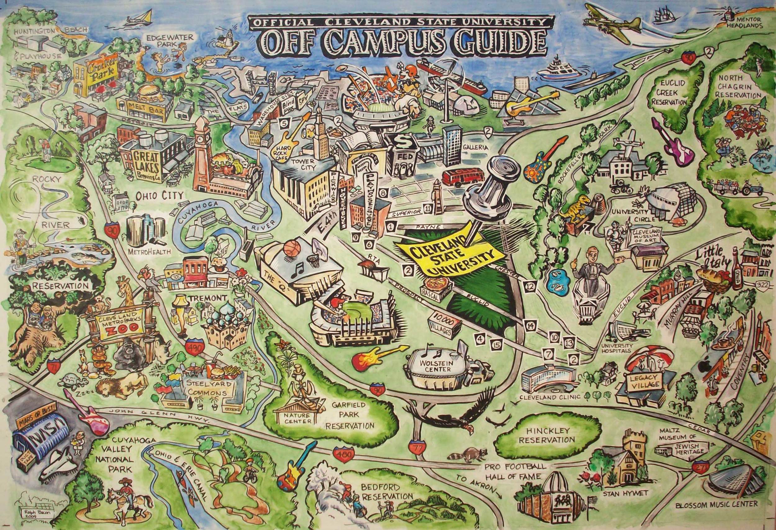
Cleveland State University commissioned this map to highlight the city features available in and around the college campus for resident students. This map was intended to encourage students living on campus to experience the cultural and recreational activities that abound in the city of Cleveland.
This was done to illustrate the many entertainment choices in the Cleveland area for students of CSU, which has been acquiring more and more dormitory space for its student body. This project is a scratchboard with watercolor rendering. A lot of work in planning, prep and client approvals, but a great result. Look for the Leg Lamp.
Map showing the local public bus routes. Landmarks are scratchboard illustrations scanned in and placed into the design.
This map was rendered in scratch board as a promotional item for Ashtabula County. The structures are only very loosely rendered in relationship to their actual location.
Ralph Bacon has created fully illustrated, birds-eye view maps for college campuses, bike trail maps, transportation maps and business district maps.